TR2, your essential companion in the mountains
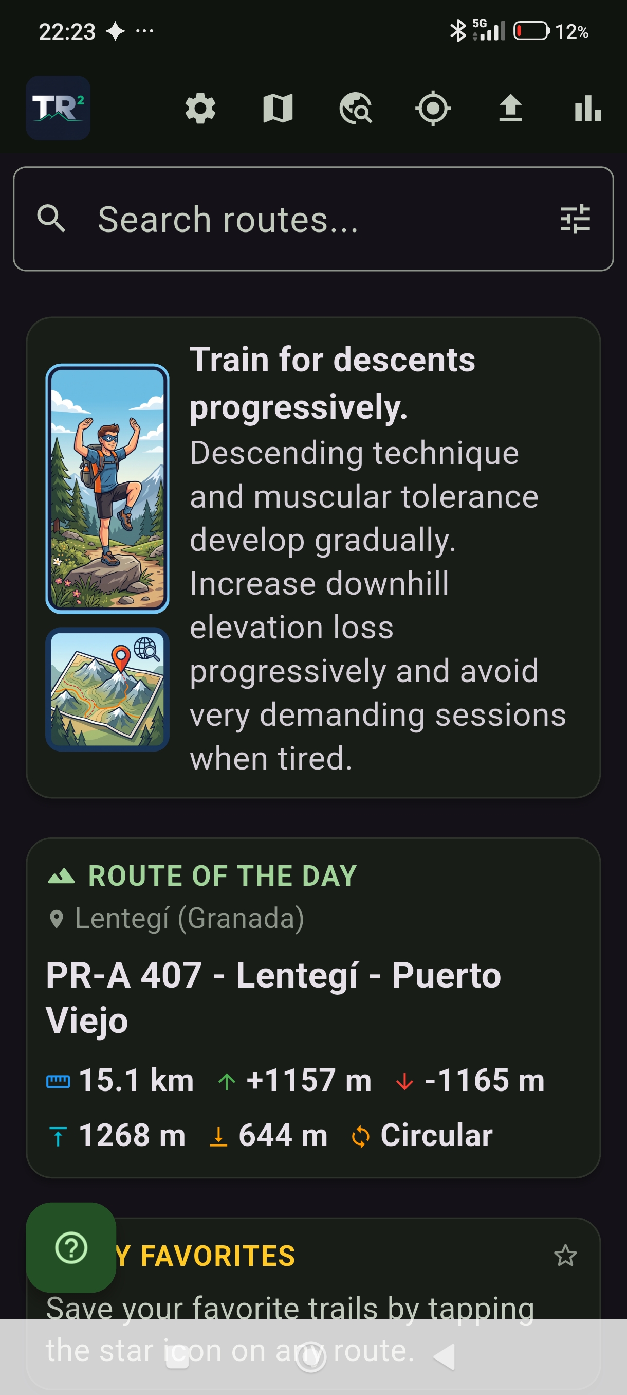
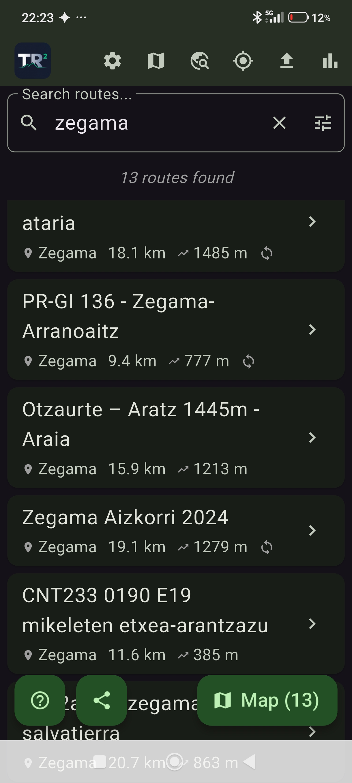
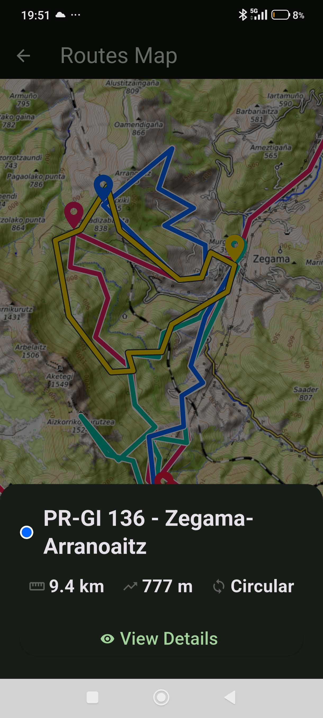
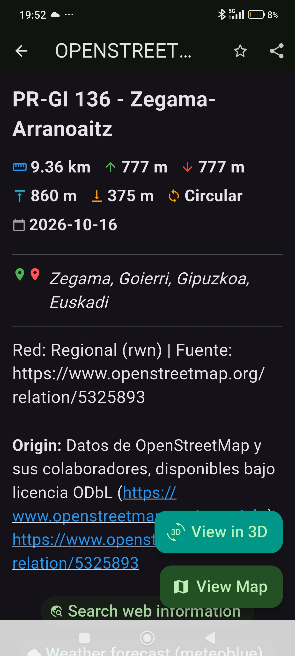
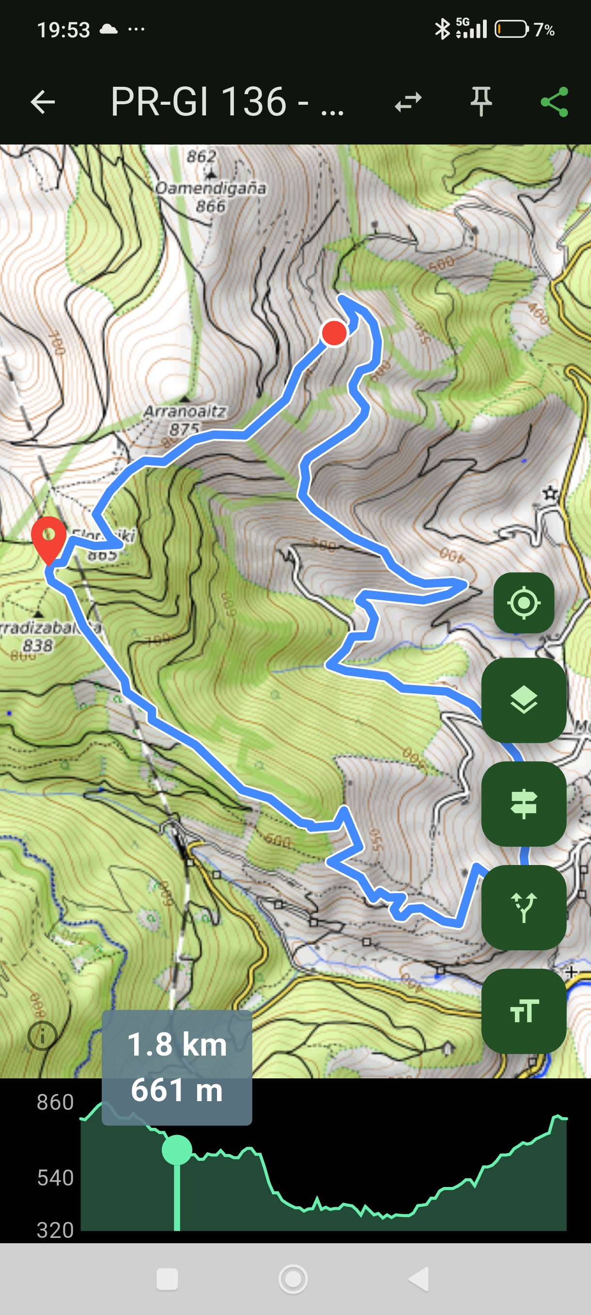
Carry over 12,000 routes from verified sources in your pocket, viewable directly on the map, complete with their elevation graph to guide you step by step. All 100% offline.
The definitive route catalog
Designed so you never get lost, even when you run out of coverage. Our catalog is continuously updated and expanded, bringing together trails from the main verified sources across the country.
Designed for adventure
100% Offline
Enjoy our entire catalog of over 12,000 routes (with their tracks and elevation profiles) built-in and available without relying on the internet.
Additionally, import your own maps to guide yourself in the mountains when you have no signal.
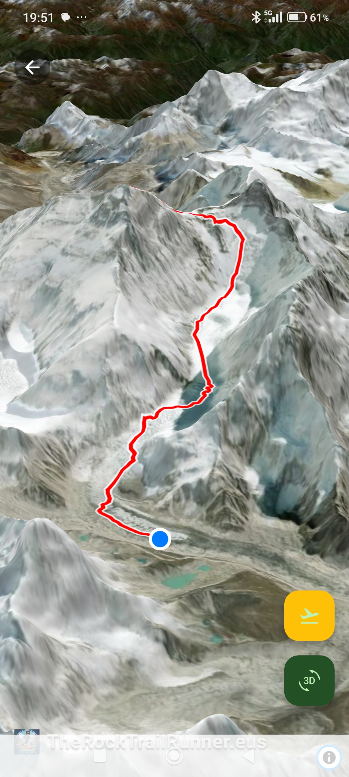
3D Visualization
Take exploration to the next level by visualizing routes in interactive 3D environments before
setting foot on the terrain.
*Requires setting up a free
Maptiler account.
Trail connection
Intelligently analyze existing intersections and connections between different routes in the catalog to create your own combined itineraries.
Nearby routes
Instantly locate routes around you directly on the map, wherever you are.
Single & Batch GPX Import (ZIP)
Have your own tracks? Import your personal routes individually (.GPX) or load entire collections at once via compressed archives (.ZIP).
Export routes
Choose any route among the more than 12,000 and export it in GPX format to take it to another app or device.
Backup to your Google Drive
Your imported routes, favorites and settings always safe. Automatic backup system synchronized directly with your own Google Drive account: no intermediate servers, completely private and ready to restore when switching phones.
Complete privacy and independence
100% local-first architecture: the entire trail database, your tracks and the search engine reside physically on your phone. The app does not rely on external servers to operate nor does it collect your activity. Your data never leaves your control.
Share trails & searches
Integrated Deep Links technology: share any trail from the catalog, your own GPX files, or a custom search with a direct link. Compatible with WhatsApp, social networks, and messaging apps with instant in-app opening.
Choose your way to explore
Basic
Perfect for starting your adventure.
- ✅ Search & trail cards (+12,000 routes): View stats, distances, and elevation for the entire catalog
- 🔶 2D Map: Free sample 10% of the catalog
- 🔶 Import your GPXs: Up to 50 personal routes (individual import)
- 🔶 Immersive 3D Simulator: Active on catalog sample routes requires MapTiler
- 🔶 Trail connections: Browse the full crossing list (map drawing for free routes only)
- ✅ Export & Share GPX: Your first 50 personal routes and sample catalog
- ✅ Google Drive Backup: Cloud backup of your routes
PRO
The ultimate experience without limits.
- ✅ Search & trail cards (+12,000 routes): View stats, distances, and elevation for the entire catalog
- ✅ 100% Unlocked Catalog: All +12,000 routes on the 2D Map (Online & Offline)
- ✅ Unlimited personal GPX routes + Bulk batch import (.ZIP)
- ✅ Immersive 3D Simulator: On all routes (Full Catalog & your GPXs) requires MapTiler
- ✅ Full trail connections: Draw and link all connected routes on the map
- ✅ Unlimited Export & Share: Any catalog or personal route
- ✅ Google Drive Backup: Cloud backup of your routes
Pack your backpack, download your map
Discover your next adventure with The Rock TrailRunner (TR2).


1 Month Free Trial • Then €6.99 / year
How to activate 3D Visualization
To enjoy the spectacular 3D view of the relief and routes, you need to link the application with satellite maps. It's a quick, 100% free process you only need to do once:
The free Maptiler account includes a credit of 10,000 requests per month, which allows between 15 and 20 monthly 3D simulations.
- Register for a free account on Maptiler.
- Once inside your user account, locate and copy your API KEY.
- Open The Rock TrailRunner, go to the Settings Screen and paste your API KEY in the 3D maps section.
You can create your account on Maptiler here.
Frequently Asked Questions
Everything you need to know about The Rock TrailRunner (TR2) before starting your adventure.
Additionally, you can import your own maps to use them when you have no signal.